SPRUCE S1 Bog and SPRUCE Experiment Location Survey Results, 2015 and 2020
Description
This dataset provides results from horizontal and vertical surveys in 2015 and 2020 of Spruce and Peatland Responses Under Changing Environments (SPRUCE) experimental infrastructure and measurement locations on the S1 bog. The SPRUCE experimental site and S1 bog are located within the Marcell Experimental Forest in northern Minnesota, USA.
Oak Ridge National Laboratory contracted with Northern Lights Land Surveying P.S.C. (Grand Rapids, MN. Jeffrey P. Major, PLS 44902) to perform the site surveys and provide horizontal and vertical coordinates for selected locations with sub-centimeter horizontal accuracy and ± 2 cm vertical accuracy. It is important to note that the contractually required vertical accuracy of ± 2 cm refers to the absolute elevations set at the control points (benchmarks). The measurements at the selected points were made relative to the benchmarks and are much more accurate relative to each other within a given survey.
Measurements, both horizontal and vertical, are made to the nearest ~3 mm (0.01 foot), such that the resolution of the measurements is ± 3 mm. Results of repeated measurements from both surveys are shown in Section 4 in the user guide.
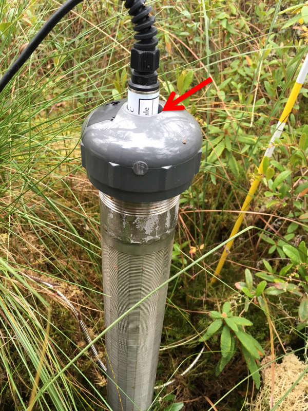
The first survey was performed in July, August, and September 2015. The second survey was performed in September and October 2020. The same locations were surveyed in both years. Benchmarks were set at the entrance to each of the three transect boardwalks and then level loops were run inside and around the experimental plots to get the individual point horizontal and vertical coordinates. Selected points were surveyed in and around the 17 plots including: central wells, elevation standards, central towers, 0 m piezometers, wood planks attached to the belowground corral, and 8 points around the octagonal boardwalks (note that not all plots have all of these features). Additional locations were surveyed across the S1 bog including: EM1, EM2, and EM3 wells, the Forest Service bog well, and the Test 6 piezometer. Sketches of each plot showing the surveyed locations (with location IDs) for each survey were provided and are included with this dataset.
This dataset contains six data files: 2015 and 2020 survey data in comma-separate values (*.csv) format and Microsoft Excel (*.xlsx) format; four files containing sketches of each plot showing the surveyed locations with location IDs: 1) 2015 plot sketches in PDF (*.pdf) format; 2) 2015 plot sketches in portable network graphics (*.png) format contained inside a compressed (*.zip) folder; 3) 2020 plot sketches in PDF (*.pdf) format; and 4) 2020 plot sketches in portable network graphics (*.png) format contained inside a compressed (*.zip) folder. Additional metadata are provided: a data dictionary and a file-level metadata file in comma-separate values (.csv) format and a user guide and file documenting the map projection in PDF (*.pdf) format.
Citation
This dataset is available for download at ESS-DIVE, please visit the DOI link in the citation below for access.
Griffiths, NA, LA Hook and PJ Hanson. 2016. SPRUCE S1 Bog and SPRUCE Experiment Location Survey Results, 2015 and 2020. ORNL Terrestrial Ecosystem Science SFA, ESS-DIVE repository. Dataset. https://data.ess-dive.lbl.gov/view/doi%3A10.3334%2Fcdiac%2Fspruce.015
Posted
Monday, January 11, 2016
SPRUCE ID: spruce.015
Public
Click image to see full-sized version