SPRUCE S1 Bog Areal Coverage of Hummock and Hollow Microtopography Assessed Along Three Transects in the S1 Bog
Description
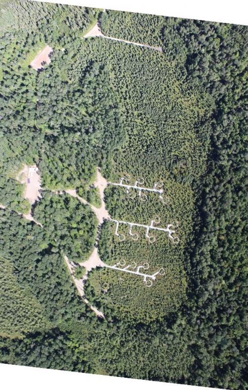
Aerial coverage of hummocks and hollows was estimated in July 2012 in ten 4 m × 4 m plots each along three 60-m t transects (30 plots total) in the S1-Bog. Hollows were defined as the lowest elevation within plots and were typically at or near the height of the water table, hummocks included area above hollows, including the sides of the hummocks.
The experimental work was conducted in a Picea mariana [black spruce] – Sphagnum spp. bog forest in northern Minnesota, 40 km north of Grand Rapids, in the USDA Forest Service Marcell Experimental Forest (MEF).
Citation
Ontl TA, Iversen CM. 2017. SPRUCE S1 Bog Areal Coverage of Hummock and Hollow Microtopography Assessed Along Three Transects in the S1 Bog. Oak Ridge National Laboratory, TES SFA, U.S. Department of Energy, Oak Ridge, Tennessee, U.S.A. https://dx.doi.org/10.3334/CDIAC/spruce.023
Download
Posted
Monday, March 6, 2017
SPRUCE ID: spruce.023
Public
Click image to see full-sized version