SPRUCE Hollow Elevation Data for Experimental Plots Beginning in 2015
Description
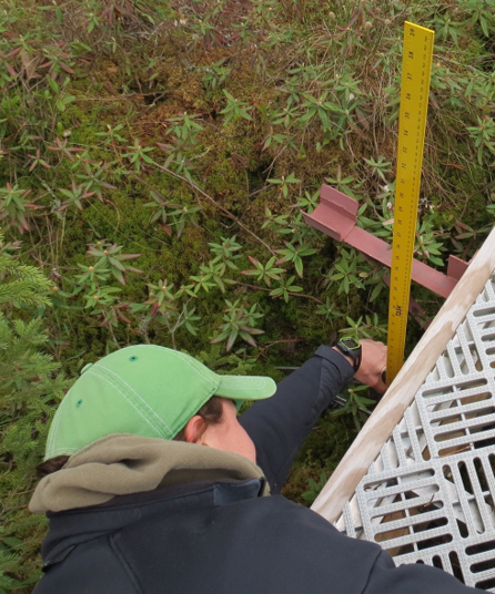
This data set provides hollow elevation data for the 17 SPRUCE experimental plots in the S1 bog on the Marcell Experimental Forest.
Hollows were selected for measurement by walking along each octagonal boardwalk segment in a plot and identifying where a hollow intersected the boardwalk. The vertical distance between the surface of the boardwalk (with a known elevation) and the surface of the hollow was measured and the absolute elevation (in meters amsl) of the hollow surface was calculated.
The hollow elevation measurements were carried out in October 2015, May 2016, October 2016, April 2017, and August 2018. These measurements will be repeated annually or more frequently.
Citation
Griffiths, N.A., and S.D. Sebestyen. 2017. SPRUCE Hollow Elevation Data for Experimental Plots Beginning in 2015. Oak Ridge National Laboratory, TES SFA, U.S. Department of Energy, Oak Ridge, Tennessee, U.S.A. https://doi.org/10.3334/CDIAC/spruce.035
Download
Posted
Monday, March 20, 2017
SPRUCE ID: spruce.035
Public
Click image to see full-sized version